High resolution jpg file (6.5M)
Location & Time Information
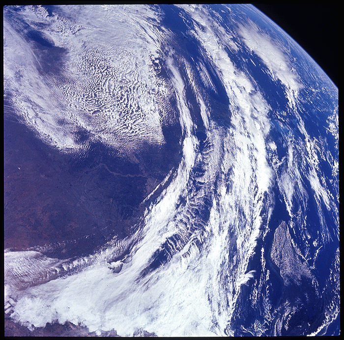
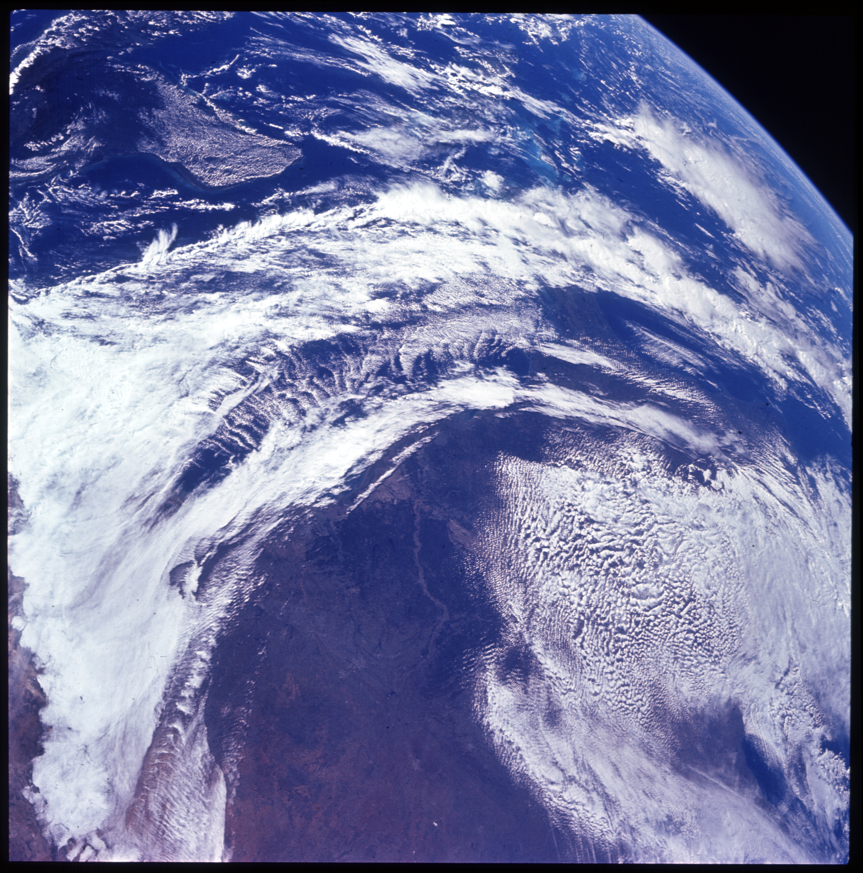
Date/Time (UT): 1969-11-14
Distance/Range (km): N/A
Central Latitude/Longitude (deg): 30., 90.
Orbit(s): N/A
Imaging Information
Area or Feature Type: clouds, water
Instrument: Hasselblad Camera
Instrument Resolution (pixels): Film Type - SO 168
Instrument Field of View (deg): 60 mm Focal Length
Filter: None
Illumination Incidence Angle (deg): N/A
Phase Angle (deg): N/A
Instrument Look Direction: N/A
Surface Emission Angle (deg): N/A
Ordering Information
CD-ROM Volume: N/A
NASA Image ID number: AS12-H-50-7325
Other Image ID number:
NSSDC Data Set ID (Photo): 69-099A-01C
NSSDC Data Set ID (CD): N/A
Other ID: N/A
Authors/Curators:
Dave Williams, dave.williams@nasa.gov, (301) 286-1258
Code 690.1, NASA Goddard Space Flight Center
Greenbelt, MD 20771, USA
Jay Friedlander, jay.s.friedlander@nasa.gov, (301) 286-7172
Code 612.4, NASA Goddard Space Flight Center
Greenbelt, MD 20771, USA