High resolution jpg file (209K)
Location & Time Information
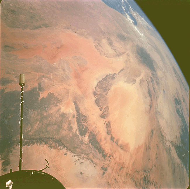
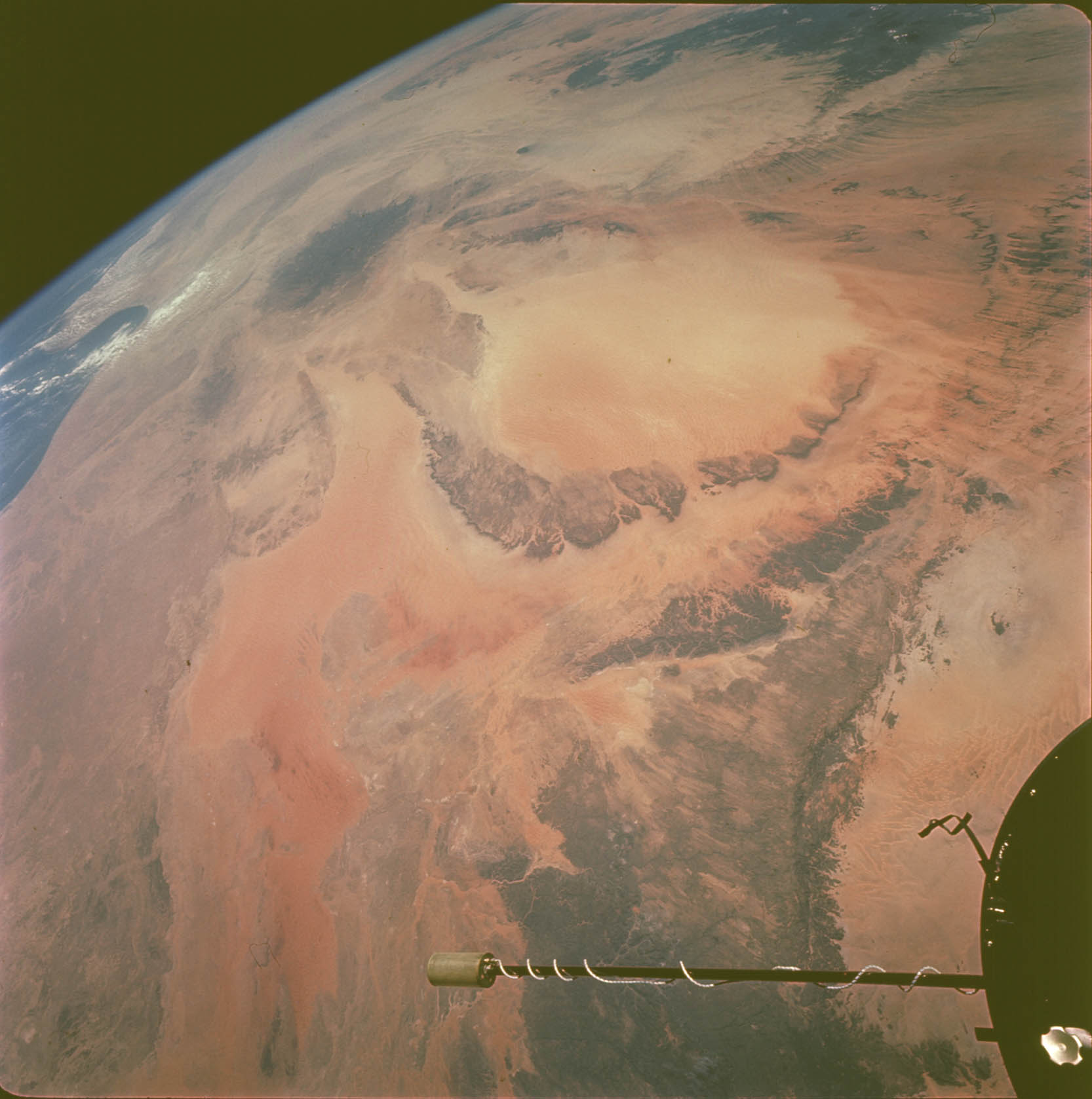
Date/Time (UT): 1966-09-14 T 09:06
Distance/Range (km): 425
Central Latitude/Longitude (deg): +20.,020.
Orbit(s): 27
Imaging Information
Area or Feature Type: desert, volcano
Instrument: SWC 70-mm camera
Instrument Resolution (pixels): N/A
Instrument Field of View (deg): N/A
Filter: N/A
Illumination Incidence Angle (deg): N/A
Phase Angle (deg): N/A
Instrument Look Direction: N/A
Surface Emission Angle (deg): N/A
Ordering Information
CD-ROM Volume: N/A
NASA Image ID number: S66-54525
Other Image ID number: S66-54459 (b&w)
NSSDC Data Set ID (Photo): 66-081A-06A
NSSDC Data Set ID (CD): N/A
Other ID: N/A
Authors/Curators:
Dave Williams, dave.williams@nasa.gov, (301) 286-1258
Code 690.1, NASA Goddard Space Flight Center
Greenbelt, MD 20771, USA
Jay Friedlander, jay.s.friedlander@nasa.gov, (301) 286-7172
Code 612.4, NASA Goddard Space Flight Center
Greenbelt, MD 20771, USA