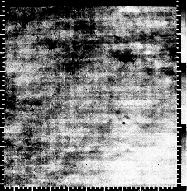
Location & Time Information
Date/Time (UT): 1965-07-15 T 00:22
Distance/Range (km): 14,900.
Central Latitude/Longitude (deg): 06.9, 180.9 W
Orbit(s): Flyby
Imaging Information
Area or Feature Type: crater
Instrument: Television camera
Instrument Resolution (pixels): 200 x 200, 6-bit
Instrument Field of View (deg): 1.05 x 1.05
Filter: red
Illumination Incidence Angle (deg): 14.
Phase Angle (deg): N/A
Instrument Look Direction: N/A
Surface Emission Angle (deg): N/A
Ordering Information
CD-ROM Volume: N/A
NASA Image ID number: Mariner 4, frame 04B
Other Image ID number:
NSSDC Data Set ID (Photo): 64-0771-01A
NSSDC Data Set ID (CD): N/A
Other ID: N/A
Authors/Curators:
Dave Williams, dave.williams@nasa.gov, (301) 286-1258
Code 690.1, NASA Goddard Space Flight Center
Greenbelt, MD 20771, USA
Jay Friedlander, jay.s.friedlander@nasa.gov, (301) 286-7172
Code 612.4, NASA Goddard Space Flight Center
Greenbelt, MD 20771, USA