High resolution tiff file (1.0M)
Location & Time Information
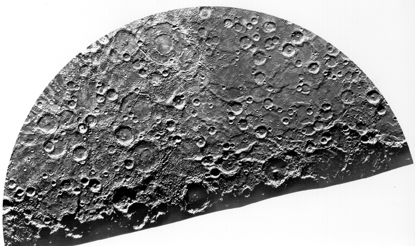
Date/Time (UT): 1974-09-21
Distance/Range (km): N/A
Central Latitude/Longitude (deg): N/A
Orbit(s): Flyby
Imaging Information
Area or Feature Type: crater
Instrument: GEC 1-inch vidicon tube (TV) camera
Instrument Resolution (pixels): 700 x 832, 8 bit
Instrument Field of View (deg): 0.38 x 0.47
Filter: N/A
Illumination Incidence Angle (deg): N/A
Phase Angle (deg): N/A
Instrument Look Direction: N/A
Surface Emission Angle (deg): N/A
Ordering Information
CD-ROM Volume: N/A
NASA Image ID number: Fig. 15-A, Atlas of Mercury
Other Image ID number: N/A
NSSDC Data Set ID (Photo): 73-085A-01S
NSSDC Data Set ID (CD): N/A
Other ID: N/A
Authors/Curators:
Dave Williams, dave.williams@nasa.gov, (301) 286-1258
Code 690.1, NASA Goddard Space Flight Center
Greenbelt, MD 20771, USA
Jay Friedlander, jay.s.friedlander@nasa.gov, (301) 286-7172
Code 612.4, NASA Goddard Space Flight Center
Greenbelt, MD 20771, USA