High resolution tiff file (1.0M)
Location & Time Information
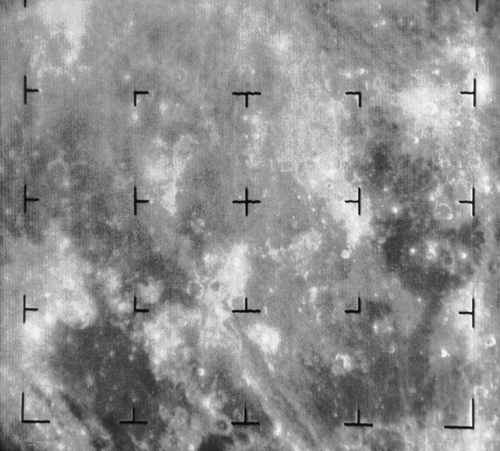
Date/Time (UT): 1965-02-20 T 09:34:32
Distance/Range (km): 2573.72
Central Latitude/Longitude (deg): -10.65, 22.42 W
Orbit(s): Impact - Hard Landing
Imaging Information
Area or Feature Type: crater, mare, landing site
Instrument: Vidicon Camera A
Instrument Resolution (pixels): 1150 x 1150
Instrument Field of View (deg): 25.
Filter: None
Illumination Incidence Angle (deg): 29.1
Phase Angle (deg): 47.3
Instrument Look Direction: N/A
Surface Emission Angle (deg): 20.1
Ordering Information
CD-ROM Volume: N/A
NASA Image ID number: Ranger 8 A001
Other Image ID number: N/A
NSSDC Data Set ID (Photo): 65-010A-01A
NSSDC Data Set ID (CD): N/A
Other ID: N/A
Authors/Curators:
Dave Williams, dave.williams@nasa.gov, (301) 286-1258
Code 690.1, NASA Goddard Space Flight Center
Greenbelt, MD 20771, USA
Jay Friedlander, jay.s.friedlander@nasa.gov, (301) 286-7172
Code 612.4, NASA Goddard Space Flight Center
Greenbelt, MD 20771, USA