High resolution tiff file (1.0M)
Location & Time Information
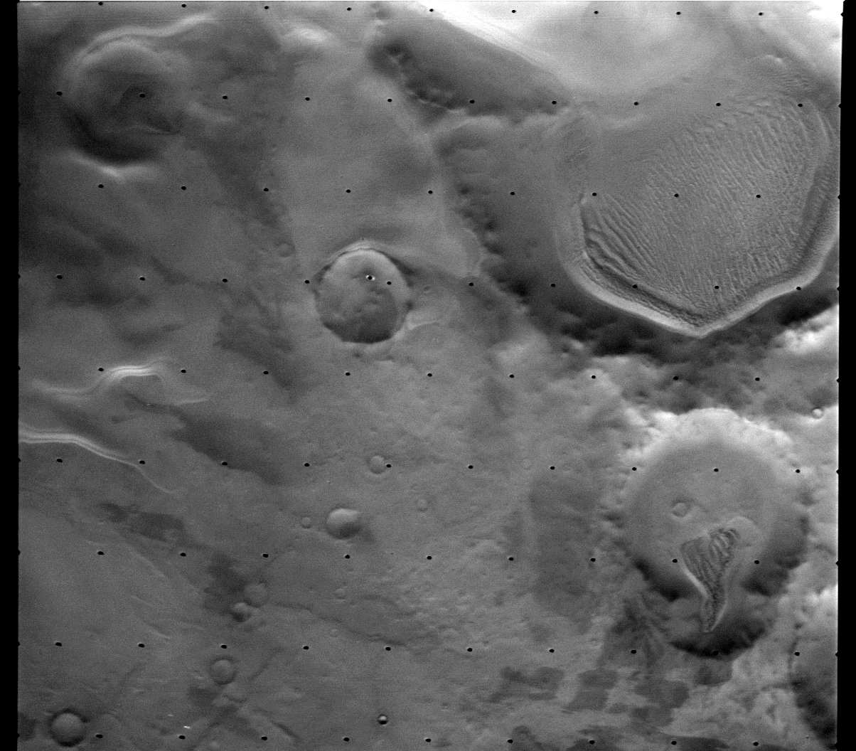
Date/Time (UT): 1977-12-10 T 07:07:09
Distance/Range (km): 5542.8
Central Latitude/Longitude (deg): -71.70/178.30
Orbit(s): 479
Imaging Information
Area or Feature Type: Dunes, Craters, Plains
Instrument: Visual Imaging Subsystem - Camera A
Instrument Resolution (pixels): 1056 x 1182, 7 bit
Instrument Field of View (deg): 1.54 x 1.69
Filter: Red (6)
Illumination Incidence Angle (deg): 78.90
Phase Angle (deg): 89.13
Instrument Look Direction: N/A
Surface Emission Angle (deg): 10.59
Ordering Information
CD-ROM Volume: VO_1060
NASA Image ID number: 479B71
Other Image ID number: 55928852
NSSDC Data Set ID (Photo): 75-083A-01D
NSSDC Data Set ID (CD): 75-083A-01a
Other ID: N/A
Authors/Curators:
Dave Williams, dave.williams@nasa.gov, (301) 286-1258
Code 690.1, NASA Goddard Space Flight Center
Greenbelt, MD 20771, USA
Jay Friedlander, jay.s.friedlander@nasa.gov, (301) 286-7172
Code 612.4, NASA Goddard Space Flight Center
Greenbelt, MD 20771, USA