- Saturday, 05 July 2025
Landsat 7
NSSDCA/COSPAR ID: 1999-020A
Description
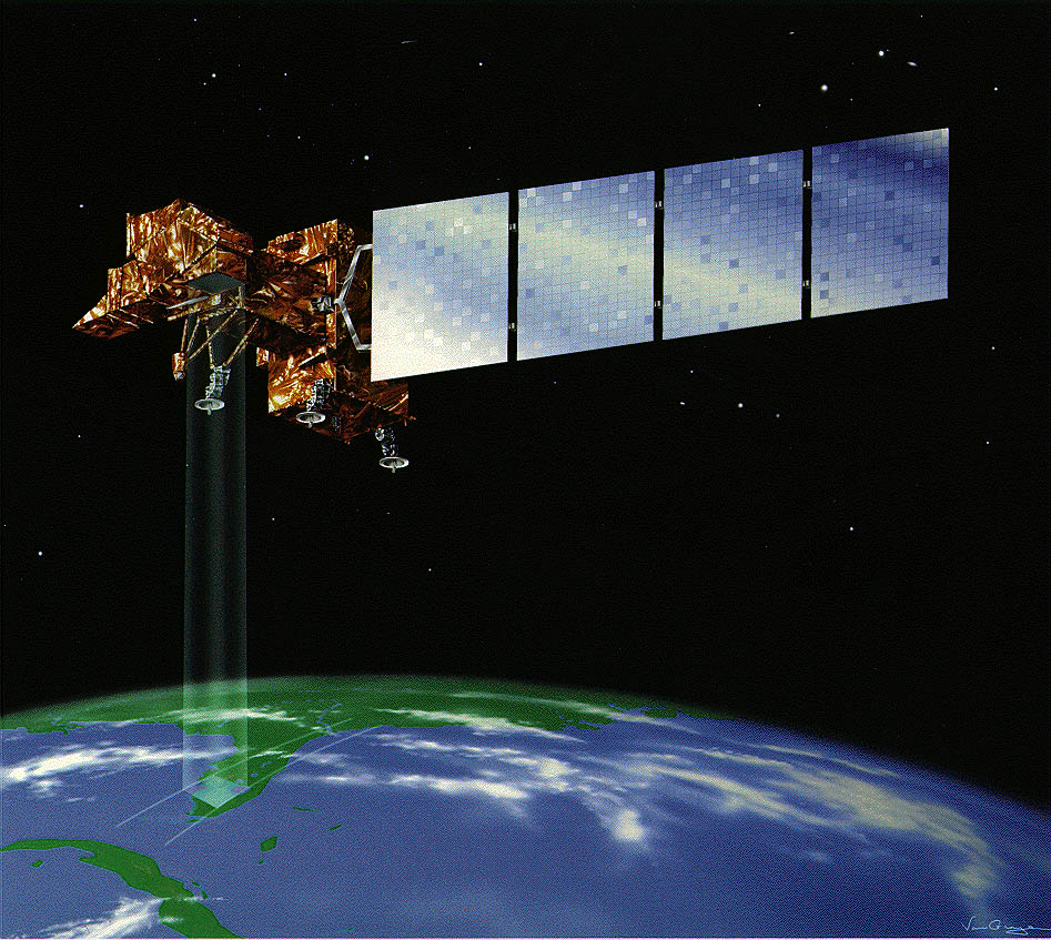
Landsat 7 continued the long-term earth observation Landsat program begun in 1972. Landsat 7 was a joint project between NASA, NOAA, and the US Geological Survey to obtain continuous high-resolution imagary of the earth's surface for environmental monitoring, disaster assessment, land use and regional planning, cartography, range management, oil and mineral exploration. Under the Land Remote Sensing Act of 1992 (PL 102-555), the Landsat program returned to the US Government and responsibilities assigned to NASA, NOAA, and the USGS. The Landsat 7 carried one instrument: (the Enhanced Thematic Mapper Plus (ETM+) The ETM+ was an improved version of the ETM on Landsat 6. The instrument provided improved spatial resolution. The Landsat 7 spacecraft provided improved ephemeris and attitude determination. The Landsat 7 spacecraft was built by Lockheed Martin Missiles and Space.
Alternate Names
- 25683
- Landsat7
Facts in Brief
Launch Date: 1999-04-15
Launch Vehicle: Delta II 7920
Launch Site: Vandenberg AFB, United States
Mass: 2200 kg
Nominal Power: 1550 W
Funding Agencies
- NASA-Office of Space Science Applications (United States)
- National Oceanic and Atmospheric Administration (United States)
Discipline
- Earth Science
Additional Information
Questions and comments about this spacecraft can be directed to: Coordinated Request and User Support Office
Personnel
| Name | Role | Original Affiliation | |
|---|---|---|---|
| Mr. John L. Donley | Deputy Project Manager | NASA Goddard Space Flight Center | |
| Dr. Darrel L. Williams | Project Scientist | NASA Goddard Space Flight Center | darrel@ltpsun.gsfc.nasa.gov |
Other sources of Landsat 7 information
Landsat 7 program (NASA ARC)
Landsat 7 gateway (NASA GSFC)
Landsat mission (USGS)